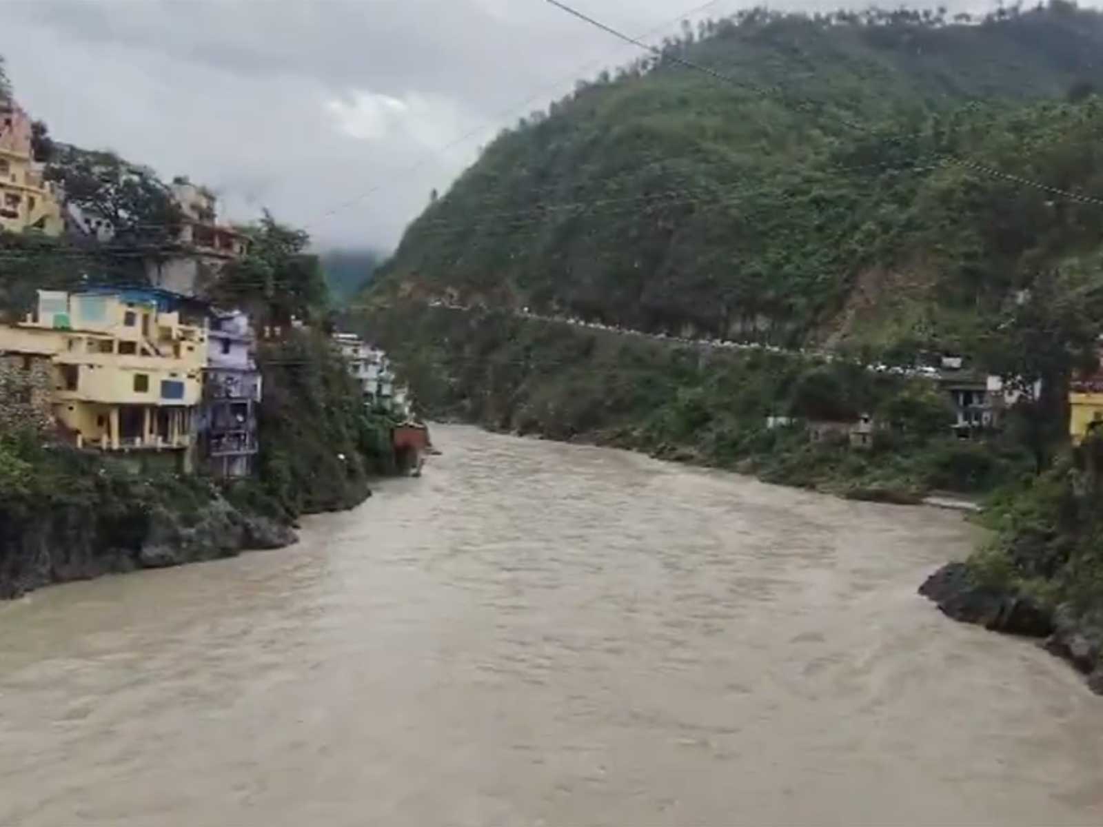
Rudraprayag (Uttarakhand) [India], July 9 (ANI): Continuous rainfall in Rudraprayag district on Thursday led to rise in water levels of major rivers, including Alaknanda and Mandakini, with the district administration closely monitoring the situation.
However, the water levels of both the rivers remain below the warning and danger marks. Monsoon rains have continued across the district, causing periodic rises and falls in river levels.
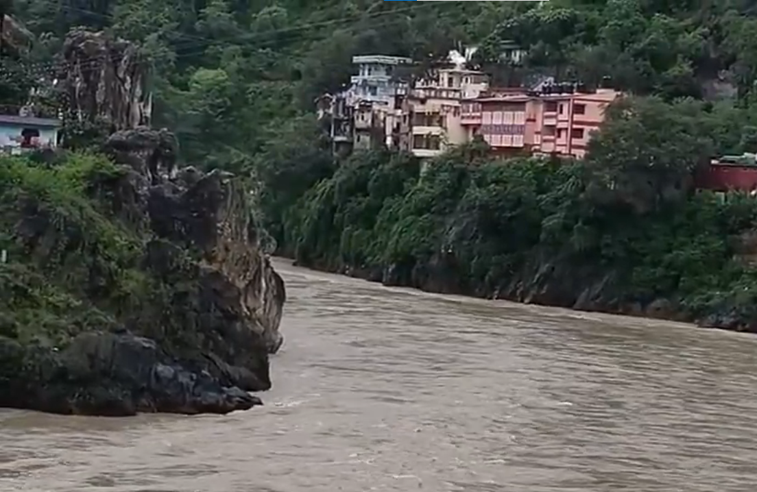
The district administration has urged residents and pilgrims to avoid venturing near rivers and streams and to strictly follow the weather advisories issued by the Meteorological Department
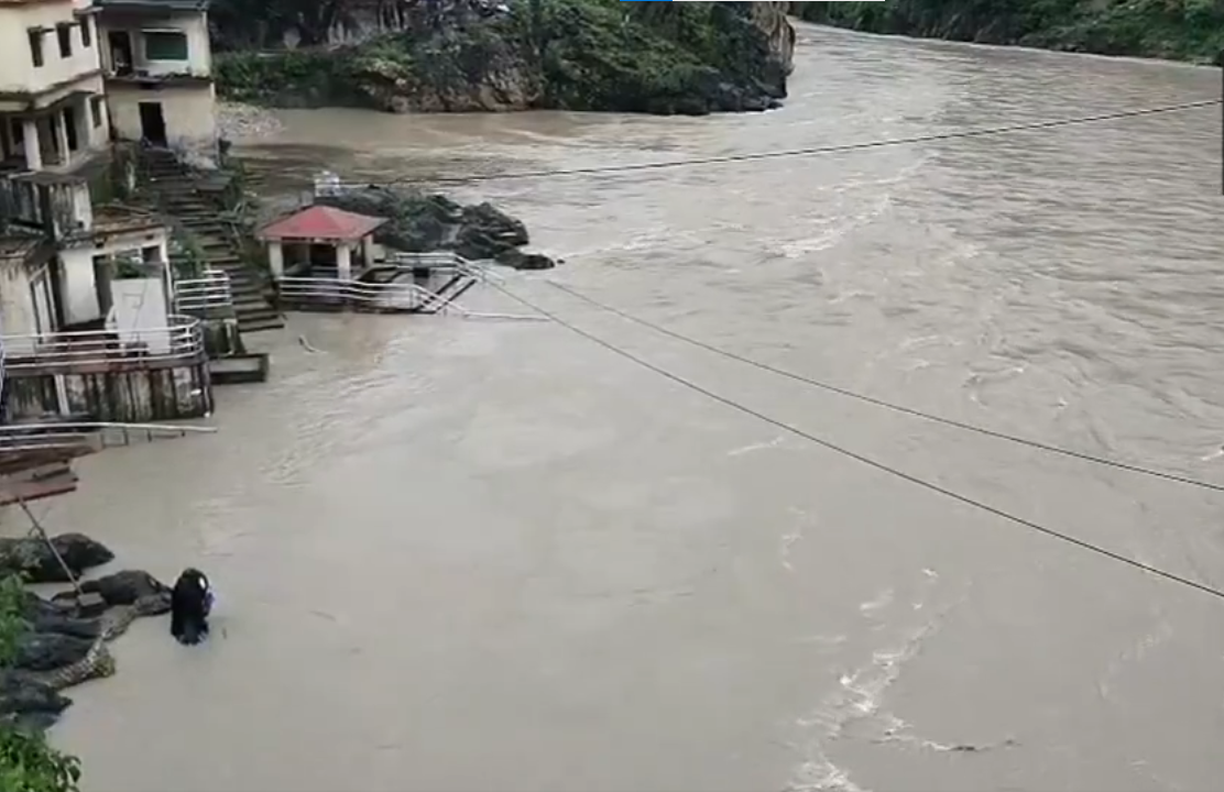
The Alaknanda River is currently flowing at 623.153 metres, while its warning level is 626 metres and the danger level is 627 metres. In Rudraprayag, the Mandakini River has been recorded at 622.230 metres, against a warning level of 625 metres and a danger level of 626 metres.
At Ganganagar, the Mandakini River’s water level stands at 799.200 metres, which is below the danger mark of 804 metres. Meanwhile, at Gaurikund, the Mandakini has been recorded at 1,974.820 metres, below the danger level of 1,976 metres.
Among the rainfall figures, Jakholi received the highest rainfall at 46 mm, followed by 23 mm in Ukhimath and 20 mm at the Rudraprayag district headquarters. The district recorded a minimum temperature of 24°C and a maximum temperature of 28°C.
On Wednesday, the Disaster Management Department, Tehri Garhwal, informed that a landslide occurred near the shops at Kaddukhal on National Highway 707A. As a result, an old vacant building was damaged.
As a precautionary measure, two restaurants, roadside kiosks, and labourers’ temporary shelters that were at risk had already been evacuated before the incident.
The incident is reportedly attributed to excavation work being carried out for the construction of a hotel by a private individual. No loss of human life or livestock has been reported. (ANI)
Related reading