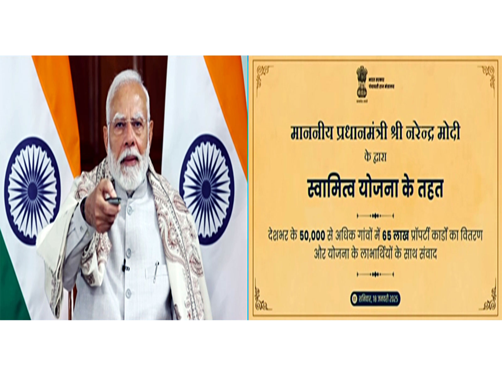
New Delhi [India], August 5 (ANI): The main objective of the SVAMITVA Scheme is to provide a Record of Rights to property owners in rural inhabited areas. Under the Scheme, rural inhabited land is demarcated using drone survey and Continuously Operating Reference Stations (CORS) technology to create high-accuracy maps of abadi areas of villages. These highly accurate maps help reduce property-related disputes by clearly demarcating property boundaries and creating a Record of Rights.
This information was given by Union Minister Rajiv Ranjan Singh alias Lalan Singh in a written reply in Rajya Sabha on August 5 2026.
Furthermore, a transparent process of ground verification and dispute resolution ensures that ownership records are finalised fairly and accurately. As on date, as per information available with the Ministry, 11,147 loans worth Rs 1,713 Crore have been disbursed based on SVAMITVA property cards, according to the Ministry of Panchayati Raj.
The Ministry of Panchayati Raj, in collaboration with the Survey of India and the State Governments, is undertaking drone surveys using Continuously Operating Reference Stations (CORS) technology to generate highly accurate GIS-based maps of rural inhabited (abadi) areas. The Ministry regularly monitors implementation through review meetings with States and the Survey of India to ensure timely completion of drone-based mapping.
The spatial data generated under the SVAMITVA Scheme is shared with the respective State Governments and is being leveraged through Gram Manchitra, a GIS-based spatial planning application developed by the Ministry of Panchayati Raj. Gram Manchitra enables Gram Panchayats to visualise village-level geospatial information, including habitation areas, roads, public infrastructure, natural resources, water bodies, and other community assets on a digital map.
It integrates geospatial data from multiple sources, including the SVAMITVA Scheme, with planning and governance data to support evidence-based preparation and implementation of Gram Panchayat Development Plans (GPDPs).
The application facilitates identification of infrastructure gaps, prioritisation of development works, optimal asset creation, monitoring of ongoing projects, and convergence of resources across various Government schemes. By providing a comprehensive spatial view of village assets and resources, Gram Manchitra strengthens decentralised planning, improves transparency, and enables informed decision-making by Gram Panchayats for sustainable rural development.
The SVAMITVA Scheme covers eligible rural inhabited (abadi) areas of villages as approved under the Scheme. To date, drone survey has been completed in 3.30 lakh villages. (ANI)
Related reading